Request ID: FOI-1303-2122 Date published: 28 September 2021
You asked
RE FOI ref 1139-2122
There seems to be blatant error in the summary sheet to this FOI. This would naturally cast doubt on all the data.
You state Bromley has 33.451km of TLRN road. I do not believe that’s accurate.
My understanding is only
A21 from Kent Boundary to Lewisham Boundary 14.5km
A232 from A21 to Croydon Boundary 6.2km
A20 from Kent Boundary to Bexley Boundary 3.8km
Total 24.5km
Could you please explain if I’m wrong or if your summary is. If the latter please ensure the complete chart is checked for other errors.
Finally please explain why you insist on using km. In this country the standard fir road mileage is miles! The clue is in the name.
We answered
TfL Ref: 1303-2122
Thank you for your email received by Transport for London (TfL) on 20 September 2021 asking for information about the accuracy of the data provided in response to a published FOI request under ref 1139-2122.
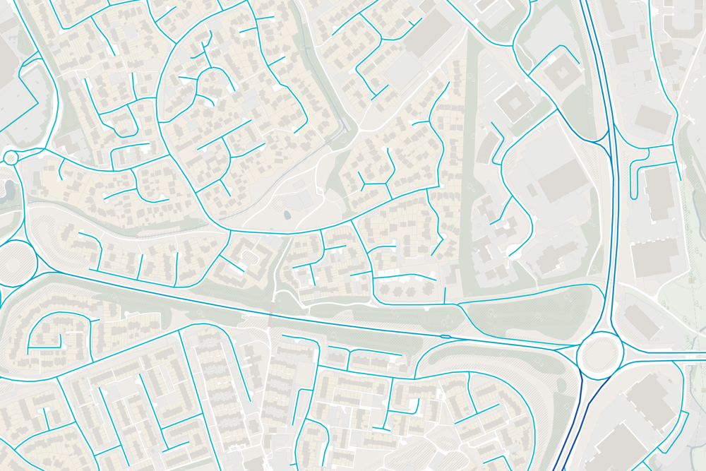
TfL utilises the Ordnance Survey Highways Master Map (OSHMM) road network to define measurements in relation to assets and features held spatially. This network gives the most accurate representation of road layout and is widely adopted across the public sector. This network enables us to give an objective figure in terms of distance against bus lanes and cycles lanes, inclusive of directionality. The reason for the disparity in length between the figures you provided and that of those published in answering the FOI request is because the OSHMM network double counts at traffic islands, dual carriageways and slip roads, as shown in this image. This is to account for directionality of road links which bus lanes and cycles form part of. The full specification for this network can be found here.
The measurements are provided in metric form as they are derived under the British National Grid (OSGB 1936) projection which is the recommended standard within the UK as per the Ordnance Survey and Geospatial Commission. This is to ensure all measurements are accurate and as reflective to real world as possible when giving measurements. Further information about coordinate systems can be found here.
If this is not the information you are looking for, or if you are unable to access it for any reason, please do not hesitate to contact me.
Please see the attached information sheet for details of your right to appeal as well as information on copyright and what to do if you would like to re-use any of the information we have disclosed.
Yours sincerely
Sara Thomas FOI Case Management Team General Counsel Transport for London